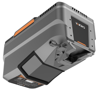
AlphaAir 15
Pushing the Boundaries of UAV Sensing and Mapping
Built on cutting-edge LiDAR technology, the AA15 combines high-end CHCNav laser scanner, high-end multi-constellation GNSS/inertial sensors, and an add-on high-resolution RGB camera
- Long-range LiDAR scanning capability of up to 1800 m
- Highest data quality and point density, up to 2 million measurements per second, scan speed up to 600 lines per second, and field of view of 75°
- Supports several external camera accessories, including CHCNAV’s 45 or 61 MP full-frame calibrated cameras and a 130 MP oblique camera
- Flexible and easy installation on diverse platforms, including helicopters, small aircrafts, and various drones, including CHCNav X500
- Seamless data processing, feature extraction, and compatibility with other industry-standard tools
- Ideal for large-scale corridor mapping operations such as power lines, highways, railroads and pipeline inspections, and well suited for open-pit mining, urban mapping and forestry applications
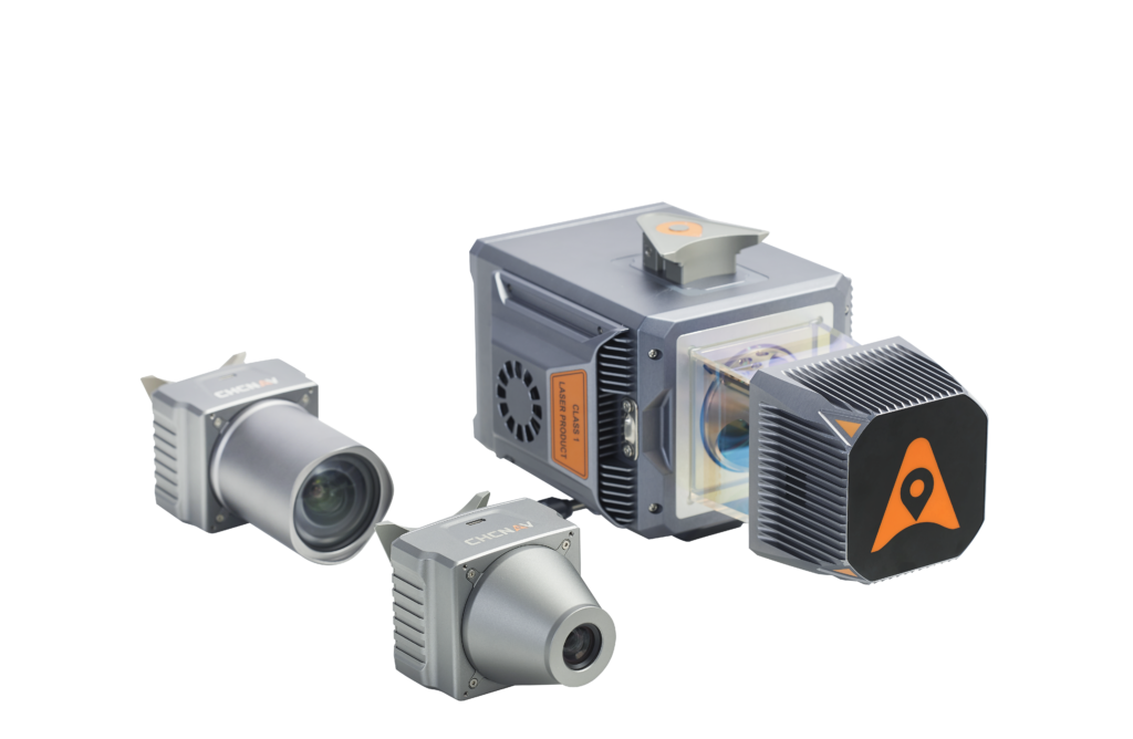
AlphaUni 20
Multi-Platform High-End LiDAR Solution
A new generation of high-end cost-effective multi-platform LiDAR solution, providing best combination of point cloud density, precision, and survey-grade accuracy
- Long-range LiDAR scanning of up to 1450 m, along with extremely high-speed scanning of 2 million points per second and scanspeeds of up to 200 scans per second
- Extremely high quality point cloud with low range noise
- Strong vegetation penetration, up to 16 target echoes, ability to easily generate real DEM, DSM in challenging conditions
- Various imaging systems to support different platform setups, including full-frame camera for high-accuracy UAV LiDAR+Imaging
- AlphaPano vehicle installation platform, which include panoramic camera and SLAM scanner integration for optimized position in GNSS challenging environment
- Simple setup on various platforms, including crewed aircrafts, drones, vehicles, marine vessels, and even backpack
- All-in-one processing software, including strip adjustment and orthomosaic, as standard features
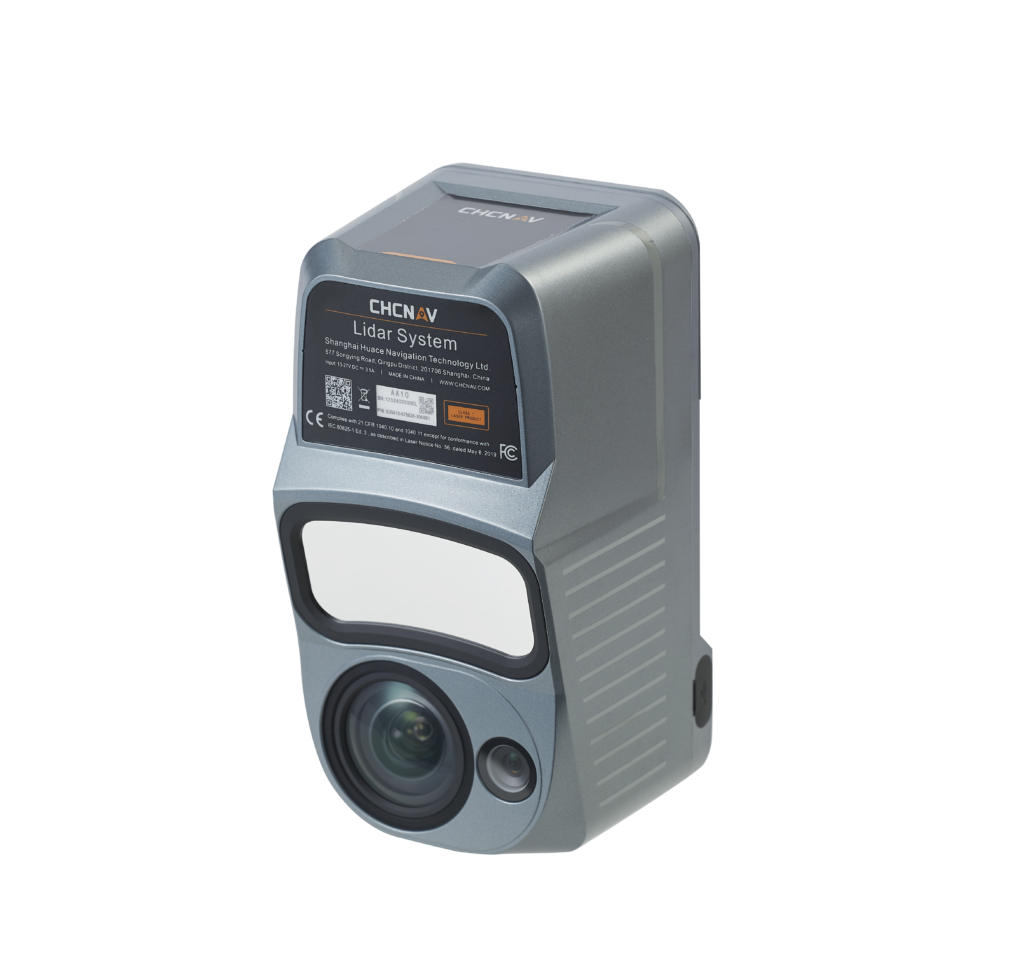
AlphaAir 10
Next Generation UAV Lidar+Imaging System
Next generation mid-range airborne LiDAR system, which integrates high-performance LiDAR, full-frame camera, high-precision multi-constellation GNSS/inertial navigation
- Long-range LiDAR scanning of up to 800 m, along with high-speed scanning of up to 500,000 points per second
- Strong vegetation penetration, up to 8 returns, ability to easily generate real DEM, DSM in challenging conditions
- Includes multi-constellation GNSS, high-precision IMU, and full-frame camera for high-accuracy UAV LiDAR+Imaging
- Simple setup on various UAV platforms, including CHCNav X500 and DJI M350
- Supports automated reality capture and real-time data visualization accessible directly from the UAV controller, enabling informed decision-making throughout the survey operation
- Seamlessly integrates LiDAR and RGB sensors to meet the needs of professional UAV LiDAR mapping and drone photogrammetry.
- All-in-one processing software, including strip adjustment and orthomosaic, as standard features
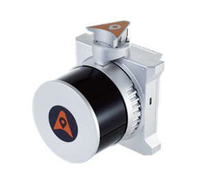
AlphaUni 10
Lightest Multi-Platform LiDAR Solution
Lightweight and rugged, all-in-one LiDAR+Imaging system, which integrates high-precision HESAI laser scanner, high-resolution camera, advanced all-constellation GNSS, and high precision IMU
- Lightest in class: 1.1 kg total weight, which means drone can fly longer
- Supports various platforms, including different models of drones, vehicles, and even backpack
- One-touch data acquisition or through drone controller
- LiDAR scanning range 120m @20% reflectivity, combined with high resolution imaging
- All-in-one processing software, including strip adjustment and orthomosaic, as standard features
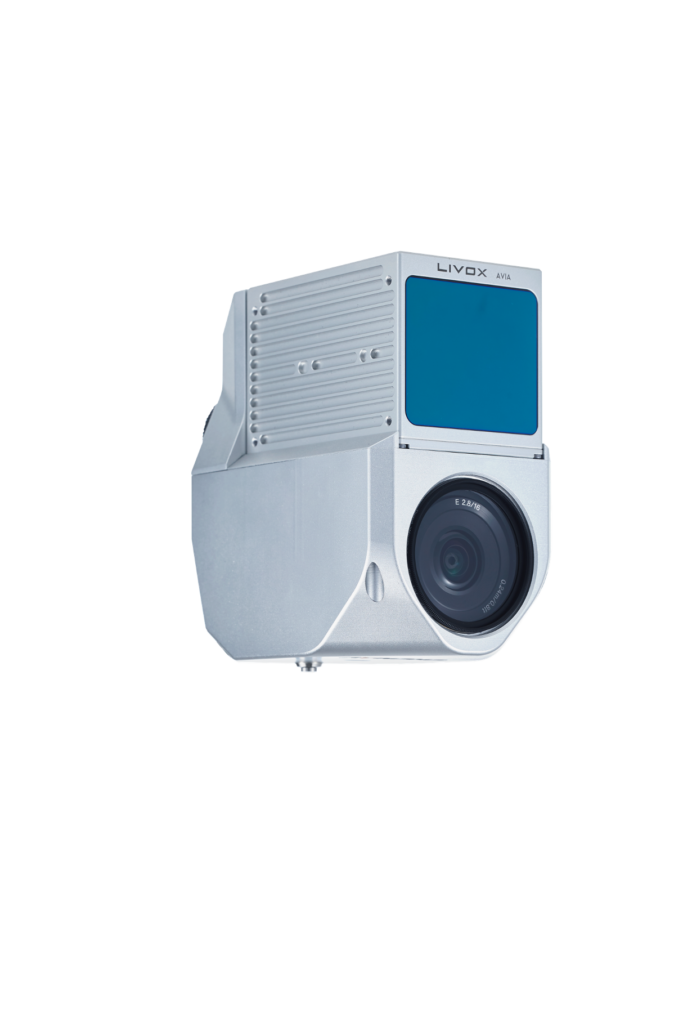
AlphaAir 450
Best Cost-Performance UAV LiDAR+Imaging in Class
All-in-one, lightweight and rugged LiDAR+Imaging system with built-in 3D laser scanner, high-resolution camera, all-constellation GNSS, and high precision IMU
- Lightest in class: 0.95 kg total weight, including LiDAR, RGB Camera, GNSS, and IMU
- Long range scanning combined with high resolution imaging
- Supports a variety of UAV platforms, including DJI M300 and M350 RTK
- One-touch data acquisition or through drone controller
- All-in-one processing software, including strip adjustment and orthomosaic, as standard features