


We are dedicated to empowering businesses and organizations
with the knowledge, tools, and resources they need to harness the full potential of geospatial technology. Whether you’re seeking expert consulting services, cutting-edge products, or comprehensive training, we are here to provide you with unparalleled geospatial expertise and state-of-the-art technology.
Our Services
Expert Consulting Services
With a dedicated team of experienced professionals, we offer comprehensive consulting services tailored to your unique needs and challenges. From Drone LiDAR/Photogrammetry and Mobile Scanning to precise GNSS Surveying, our experts will work closely with you to deliver solutions that drive efficiency, optimize your workflows…
Cutting-Edge Products
Explore our extensive range of geospatial products sourced from industry-leading manufacturers. Whether you need high-precision GPS/GNSS receivers, advanced drone mapping systems, or powerful mobile laser scanning systems, we have the tools to enhance your data collection, analysis, and visualization capabilities…
Training Programs
We believe that knowledge is the key to unlocking the full potential of geospatial technology. Our training programs are designed to equip individuals and teams with the skills and expertise needed to excel in the field. Whether you’re a beginner or an experienced professional, our experts will guide you through hands-on…
Featured Products
Latest News & Blog
-
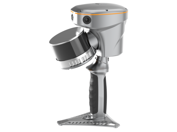

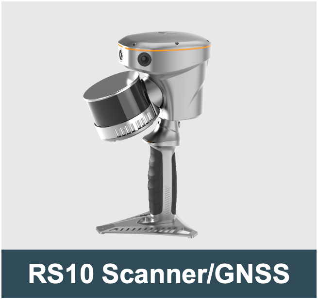
RS10 Laser Scanner/GNSS RTK
CHC Navigation introduced a new integrated handheld SLAM 3D laser scanner and GNSS RTK system, RS10, for seamless indoor/outdoor 3D scanning and surveying tasks…
-
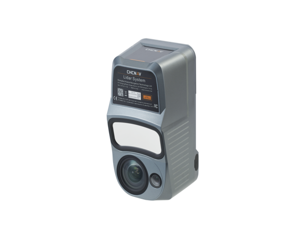
Selecting a Drone LiDAR: Webinar
Selecting a survey-grade LiDAR system for drone-based topographic mapping can be challenging, especially when the system’s data sheet is difficult to read and/or lacks critical information. This webinar highlights some critical elements that might help us make an informed decision when selecting a drone lidar!
-
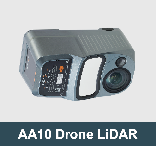
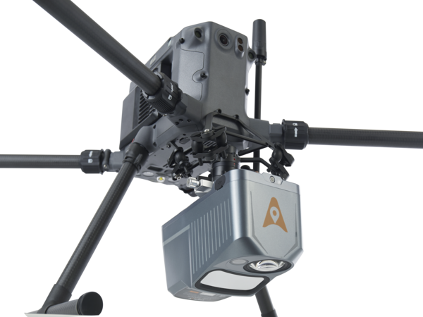
AlphaAir 10 LiDAR
Next generation mid-range airborne LiDAR system, which integrates high-performance LiDAR, full-frame camera, high-precision multi-constellation GNSS/inertial navigation…