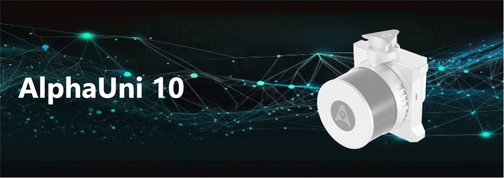
AlphaUni 10
Lightest Multi-Platform LiDAR Solution
Lightweight and rugged, all-in-one LiDAR+Imaging system, which integrates high-precision HESAI laser scanner, high-resolution camera, advanced all-constellation GNSS, and high precision IMU
- Lightest in class: 1.1 kg total weight, which means drone can fly longer
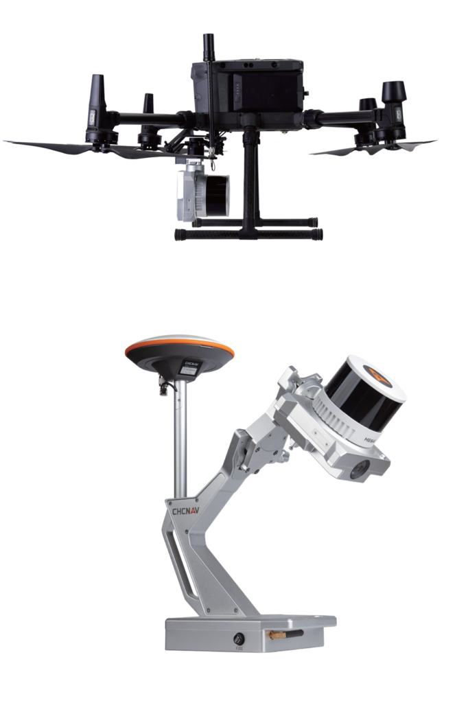
- Supports various platforms, including different models of drones, vehicles, and even backpack
- One-touch data acquisition or through drone controller
- LiDAR scanning range 120m @20% reflectivity, combined with high resolution imaging
- All-in-one processing software, including strip adjustment and orthomosaic, as standard features
- automated point cloud processing, image georeferencing, point cloud colorization, and depth maps
- Industrial reliability and extended operating temperature
Key Specifications
Laser Scanner
| range precision | 0.5 cm |
| range accuracy | 1 cm |
| field of view | 360° (Horizontal) × 40.3° (Vertical) |
| scan rate | 640 000 pts/sec (first or strongest return) 1 280 000 pts/sec (dual) 1 920 000 pts/sec (triple return) |
| scan speed | 5 Hz, 10 Hz, 20 Hz |
Imaging System
| camera type | built-in calibrated camera |
| resolution | 26 MP (6252 × 4168) |
| sensor/pixel size | 23.5 × 15.7 mm/ 3.75 μm |
| focal length | 16 mm |
| field of view (FOV) | 72.6° x 52.2° |
| min. trigger interval | 0.6 sec |
Positioning and Orientation
| GNSS (built-in) | multi-constellation, triple-frequency |
| IMU (built-in) | high-precision with 600 Hz update rate |
| POS accuracy (no GNSS outage) | Horizontal: 1 cm (RMS) Vertical: 2 cm (RMS) Pitch/Roll 0.01 degrees (RMS) Heading 0.04 degrees (RMS) |
General System Performance
| Absolute accuracy | < 5 cm (Horizontal) < 5 cm (Vertical) (without control points, @ 50 m AGL) |
| Total system weight | 1.1 kg (including all sensors) |
| Operating temperature | -20°C ~ +50°C |