Drone Photogrammetry and 3D Mapping
Course Description
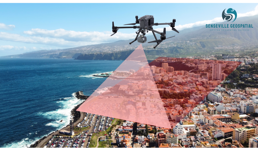
Unlock the power of drone photogrammetry and 3D mapping through our specialized training courses. Learn the fundamentals of drone safety regulations, mission planning and best practices. Gain fundamental knowledge about sensors and Photogrammetry techniques. Acquire the skills to capture high-quality imagery, and process drone data using Photogrammetry software to generate point clouds from drone imagery, orthomosaics, and digital surface models (DSMs) for visualization, analysis, and mapping applications.
Learning Objectives
At the end of this course, you will be able to:
- to understand the fundamental principles and concepts of done-based Photogrammetry and its applications
- to acquire knowledge of different types of drones, sensors, and cameras used in Photogrammetry, and their optimal configuration for capturing high-quality drone-based imagery
- to gain proficiency in operating drones for Photogrammetry and 3D mapping, including flight planning, pre-flight preparation and safe piloting, and data acquisition
- to understand the principles and best practices for ground control points (GCPs) and their integration into the Photogrammetry workflow to enhance accuracy and georeferencing of 3D mapping products
- to develop skills in post-processing drone-based imagery using industry-standard Photogrammetry software tools, and to generate point clouds, digital surface models (DSMs), and Orthomosaics
- to develop proficiency in analyzing and visualizing geospatial data, accuracy assessment, and quality control measures in drone-based Photogrammetry
- to perform measurements, including distances, areas, and volumes
- to gain insights into the applications of drone-based Photogrammetry across various industries, such as surveying, construction, utilities, agriculture, urban planning, environmental monitoring, and asset management
Who Should Attend
- Engineers, geomatics/geospatial specialists, surveyors, professionals involved in industries surveying, construction, utilities, agriculture, urban planning, environmental monitoring, and asset management
- Professionals seeking to develop expertise in drone Photogrammetry, including operation, capabilities and limitations, applications, and development trends
Availability
- Location: Oakville, Ontario
- Duration: two days
- Date: May 11-12, 2026; 9:00 AM – 4:30 PM Eastern Standard Time
- Fee: $1995