Mobile Laser Scanning
Course Description
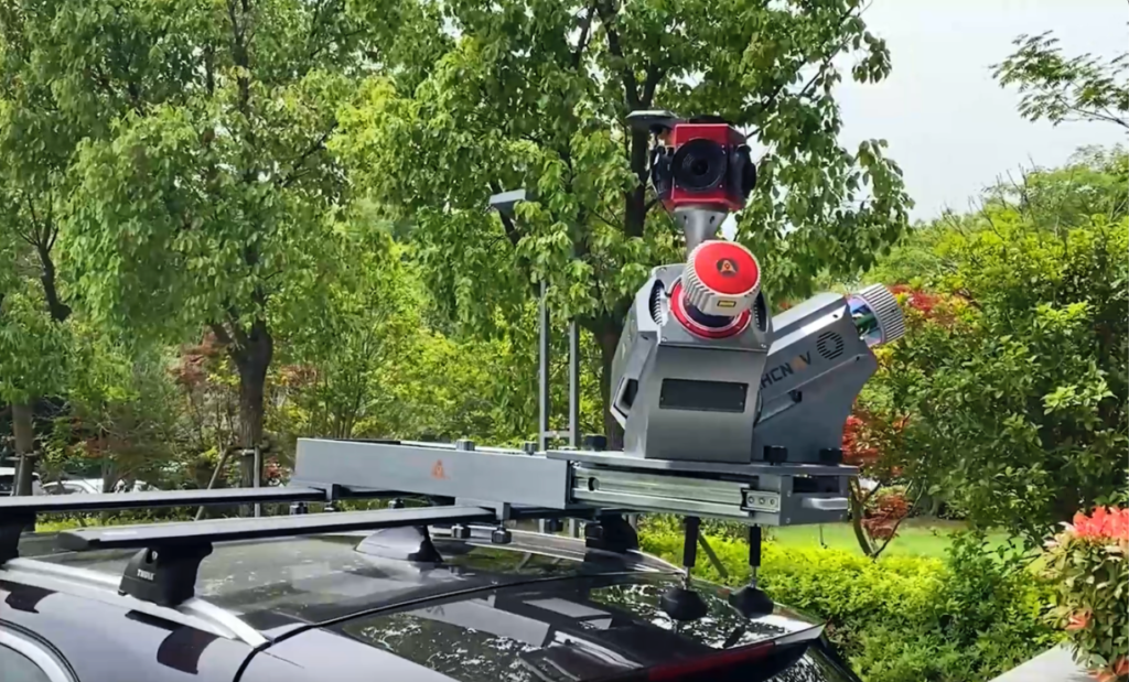
Explore the world of mobile laser scanning and mapping technologies through our hands-on training courses. Learn how to effectively utilize and integrate vehicle-mounted GNSS, inertial measurement unit (IMU), LiDAR scanners and imaging sensors for mobile data collection. Gain hands-on experience with mobile laser scanning hardware and software, including data acquisition techniques, system calibration, and post-processing workflows. Acquire the skills to perform accurate and detailed mobile laser scanning for transportation, infrastructure, and asset management projects.
Learning Objectives
At the end of this course, you will be able to:
- to introduce participants to the principles of mobile laser scanning systems, including system components (e.g., LiDAR scanners, imaging sensors, GNSS and IMU) and sensor relationship
- to learn about data collection planning, including mission design, considering factors such as project requirements, data accuracy and data density, sensor configuration and optimal data acquisition parameters
- to gain proficiency in operating and calibrating mobile laser scanning systems, including system setup, sensor alignment, data synchronization, and data validation during the data acquisition phase
- to explore software tools commonly used for processing and analyzing point cloud data, and to learn best practices for efficient data processing workflows
- to learn methods for data alignment, coordinate system transformations, and combining different data sources for comprehensive analysis and visualization
- to explore advanced topics in mobile laser scanning systems, such as simultaneous localization and mapping (SLAM), trajectory optimization, and data accuracy assessment
- to learn techniques for data filtering, segmentation, classification, and feature extraction
- to develop practical skills through hands-on exercises and to gain insights into the diverse applications of mobile laser scanning systems, including transportation infrastructure mapping, utilities, and asset management
Who Should Attend
- Engineers, geomatics/geospatial specialists, surveyors, professionals involved in industries transportation, infrastructure, and asset management projects
- Professionals seeking to develop expertise in multi-sensor laser scanning, including operation, capabilities and limitations, applications, and development trends
Availability
- Location: Oakville, Ontario
- Duration: three days
- Date: May 25-27, 2026; 9:00 AM – 4:30 PM Eastern Standard Time
- Fee: $2995