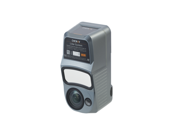
CHC Navigation introduced the AlphaAir 10 (AA10), an advanced drone mapping solution that seamlessly integrates LiDAR and RGB sensors to meet the needs of professional UAV LiDAR mapping and drone photogrammetry. Leveraging CHCNAV’s cutting-edge LiDAR technology, the AA10 flawlessly integrates high-precision LiDAR, accurate GNSS positioning, IMU orientation and an industrial-grade full-frame orthophoto camera. Combined with CHCNAV point cloud and image fusion modeling software, the AA10 provides a survey-grade, efficient and cost-effective approach to 3D data acquisition and processing. The AA10 Airborne LiDAR+RGB System accelerates accurate 3D data collection within a single mission and simplifies the process of capturing 3D reality through a streamlined workflow.
Main Features
- Long-range LiDAR scanning of up to 800 m, along with high-speed scanning of up to 500,000 points per second
- Strong vegetation penetration, up to 8 returns, ability to easily generate real DEM, DSM in challenging conditions
- Includes multi-constellation GNSS, high-precision IMU, and full-frame camera for high-accuracy UAV LiDAR+Imaging
- Simple setup on various UAV platforms, including DJI M350 and CHCNav BB4
- Supports automated reality capture and real-time data visualization accessible directly from the UAV controller, enabling informed decision-making throughout the survey operation
- Seamlessly integrates LiDAR and RGB sensors to meet the needs of professional UAV LiDAR mapping and drone photogrammetry.
- All-in-one processing software, including strip adjustment and orthomosaic, as standard features