-
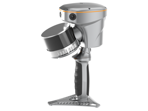
RS10 Laser Scanner/GNSS RTK
CHC Navigation introduced a new integrated handheld SLAM 3D laser scanner and GNSS RTK system, RS10, for seamless indoor/outdoor 3D scanning and surveying tasks…
-
Selecting a Drone LiDAR: Webinar
Selecting a survey-grade LiDAR system for drone-based topographic mapping can be challenging, especially when the system’s data sheet is difficult to read and/or lacks critical information. This webinar highlights some critical elements that might help us make an informed decision when selecting a drone lidar!
-
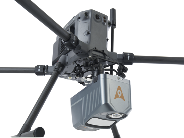
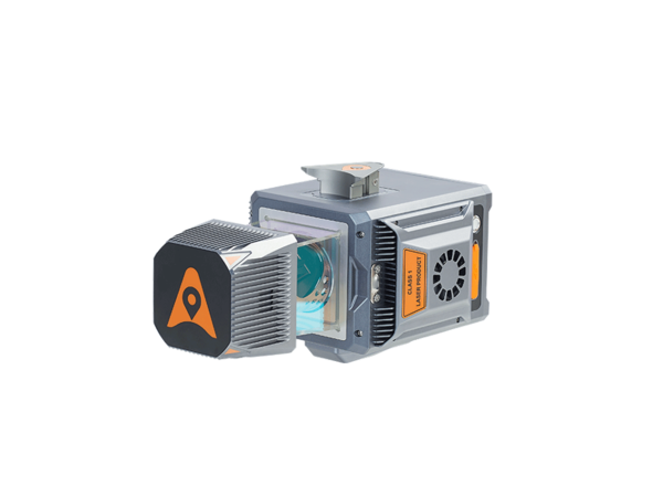
AlphaAir 10 LiDAR
Next generation mid-range airborne LiDAR system, which integrates high-performance LiDAR, full-frame camera, high-precision multi-constellation GNSS/inertial navigation…
-
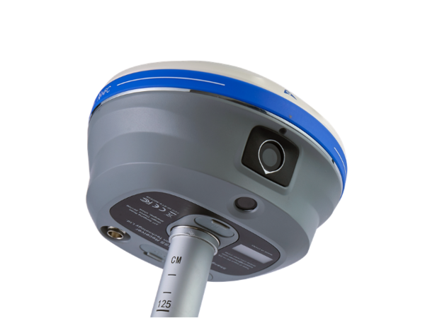
i93 Visual IMU-RTK GNSS system
Featuring automatic pole-tilt compensation in real time, accurate visual positioning and immersive 3D visual stakeout experience…
-
How to select a drone LiDAR: Article
Selecting a survey-grade LiDAR system for drone-based topographic mapping can be challenging, especially when the system’s data sheet is difficult to read and/or lacks critical information. To appropriately select a commercial drone LiDAR system, users should consider the characteristics of four different sensors, namely the LiDAR sensor itself, the GNSS system, the inertial measurement unit…
-
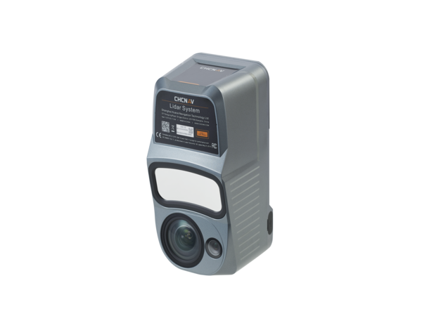
AlphaUni 20 LiDAR
CHC Navigation introduced the AlphaUni 20 LiDAR system, revolutionizing UAV and Mobile Mapping and democratizing 3D Reality Capture…