-
How to select a drone LiDAR: Article
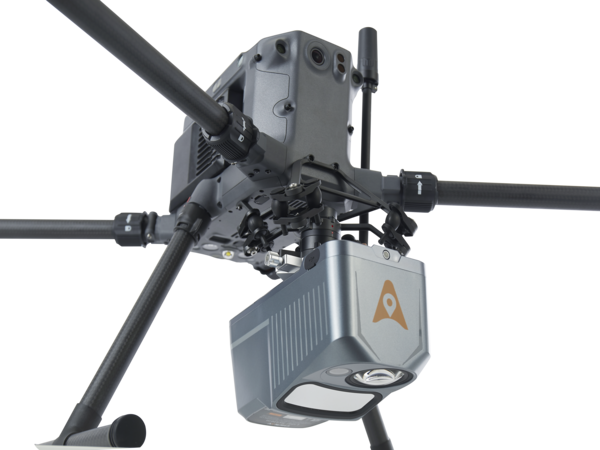
Selecting a survey-grade LiDAR system for drone-based topographic mapping can be challenging, especially when the system’s data sheet is difficult to read and/or lacks critical information. To appropriately select a commercial drone LiDAR system, users should consider the characteristics of four different sensors, namely the LiDAR sensor itself, the GNSS system, the inertial measurement unit…