
Cutting-Edge Drone Mapping Systems
Airborne LiDAR Systems
-
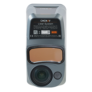
AlphaAir 10
Professional Airborne LiDAR+RGB
-
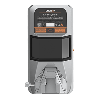
AlphaAir 15
Premium Airborne LiDAR
-
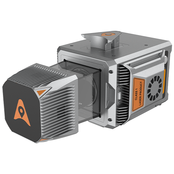
AlphaUni 20
Multi-platform Premium LiDAR
-
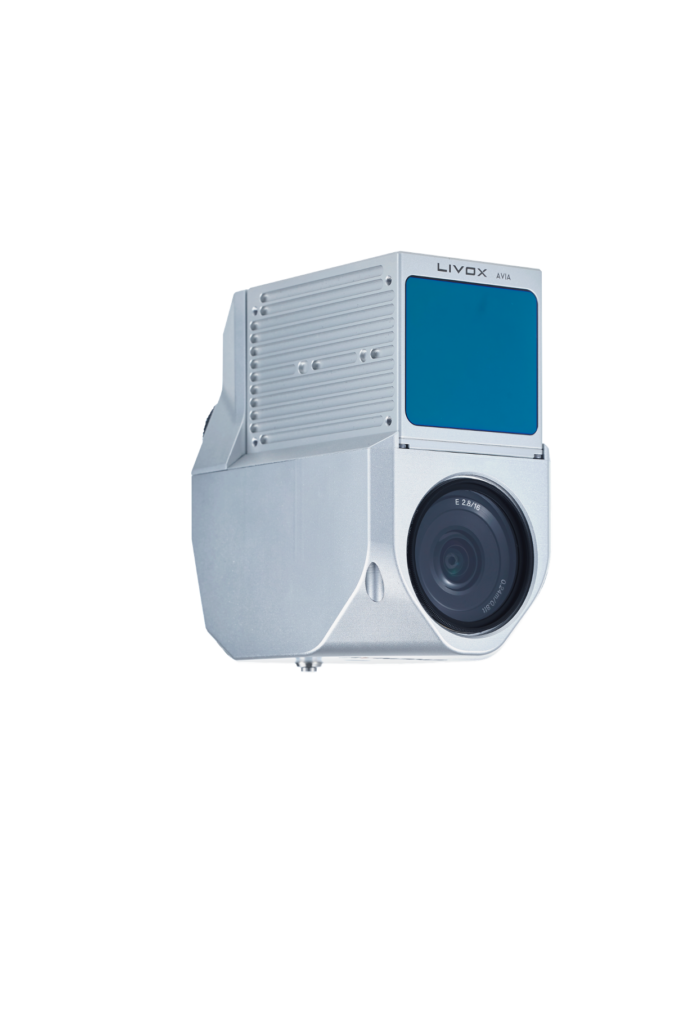
AlphaAir 450
Airborne LiDAR+RGB
UAS Cameras
-
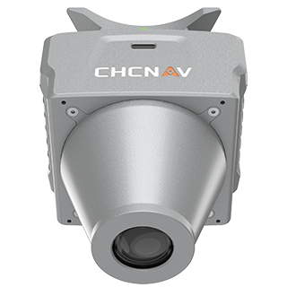
C5
Aerial Ortho Camera System
-
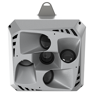
C30
Aerial Oblique Camera System