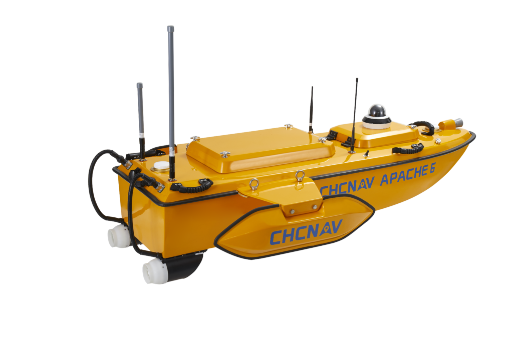
APACHE 6
Advanced Unmanned Surface Vehicle (USV) with NORBIT Multibeam Echosounder
- an innovative, fully integrated solution for 3D bathymetric surveys, positioning of underwater objects, offshore construction, underwater archaeology and wreck salvage
- built around a triple-hull vessel and optimized for the Norbit™ multibeam echo sounder series
- offers a fully autonomous survey mode, powered by field-proven CHCNAV absolute straight line technology, to follow a predetermined path even in adverse current conditions.
- reduces survey time, improves work efficiency and produces high-resolution data to always meet the requirements of the most demanding marine projects.
- lightweight for easy deployment, weighting only 15 kg without sensors, which allows for two operators to carry out most of remote deployment
- optional terrestrial mapping laser sensor
APACHE 6 in Action
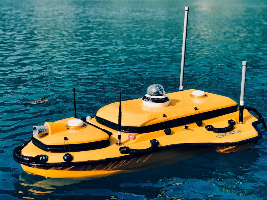
APACHE 4
Autonomous Hydrographic Surveying USV
- Unmanned Surface Vessel (USV) that supports a wide variety of Acoustic Doppler Current Profiler (ADCP) systems available on the market
- built-in single-beam echo sounder
- built-in adaptive water flow and hovering navigation technology, which significantly improves the accuracy of flow estimation
- smart positioning and navigation through GNSS+IMU
- completely autonomous, the APACHE 4 is safely operated from the shore
- ultra-compact; it enables easy handling at the mission site, facilitates safe launching and convenient transportation by car
APACHE 4 in Action
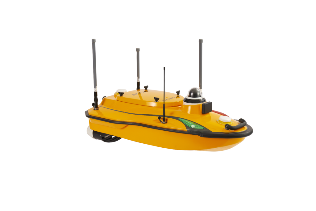
APACHE 3 PRO
Compact, high-performance USV designed for autonomous bathymetric surveys in shallow waters
- comes standard with a D270 single-beam echosounder, RTK GNSS/INS sensors, a millimeter-wave obstacle avoidance radar system
- tight integration of GNSS and INS sensors eliminates data outliers, and ensures consistent accuracy and reliability, even when navigating under bridges
- integrates a built-in water temperature sensor to enable real-time sound velocity correction in response to temperature changes, resulting in superior depth measurement accuracy
- can be equipped with water analysis probes to measure water quality parameters such as pH, temperature, conductivity, dissolved oxygen and more
- weighs of only 10 kg (excluding sensors), which allows a single operator to effortlessly manage a variety of remote deployment scenarios
- motor design enables surveys in diverse water conditions
APACHE 3 PRO in Action
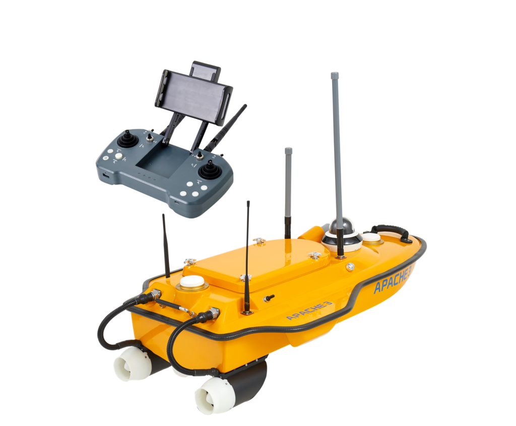
APACHE 3
Compact shallow-draft hull with a single-beam echo-sounder
- portable shallow-draft hull USV with a single-beam echo sounder for bathymetric surveys of lakes, inland rivers, and coastal areas
- combines a dual GNSS positioning and heading sensor, a stable and reliable hull attitude, and an IMU sensor, allowing uninterrupted survey while passing below bridges
- Integrate high precision GNSS positioning and heading technology to ensure high accuracy bathymetric survey in fully autonomous mode
- the master control unit provides seamless 4G communication, removing the limitations of traditional network bridge base stations and transmission distances, and making hydrographic survey easier
- less than 1 m length and pocket-hulled vessel design, the APACHE 3 weighs only 7 kg without sensors