
Software
3D Mapping Software
-
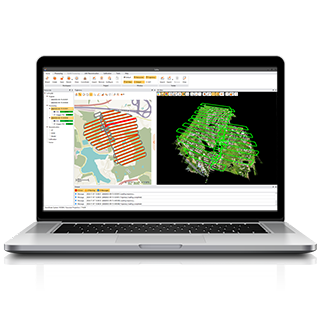
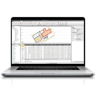
CoPre
LiDAR Processing Software
-
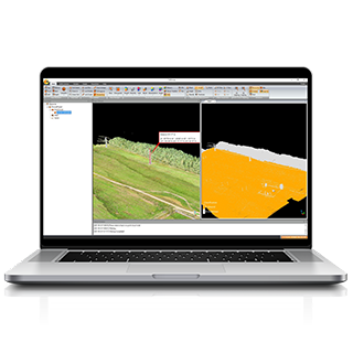
CoProcess
Advanced LiDAR Processing and Point Cloud CAD Software
-
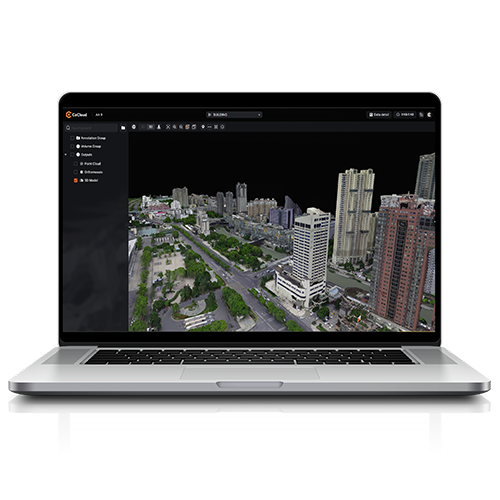
CoCloud
Cloud-Based 3D Data Processing and Management Software
Surveying & Mapping Software
-
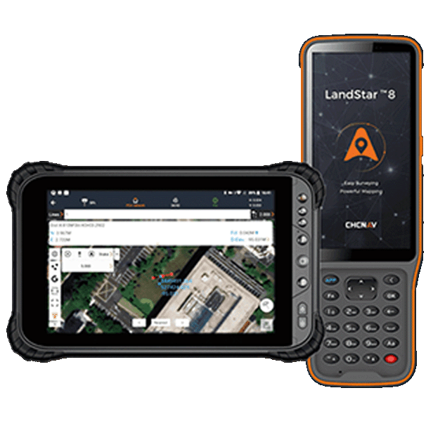
LandStar
Land Surveying and Mapping App
-
CGO
GNSS Post-Processing Software
-
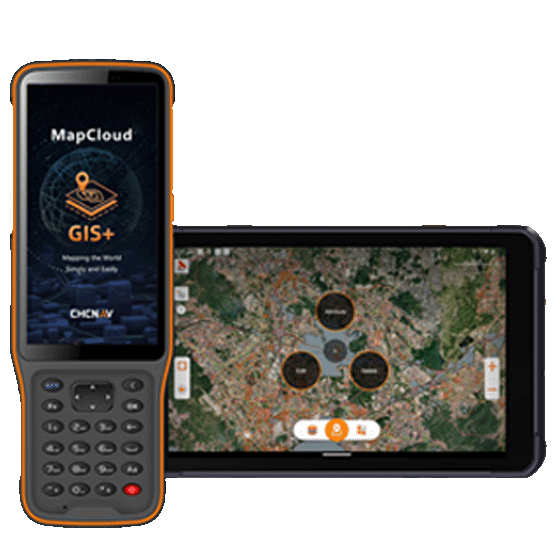
MapCloud
Advanced GIS Data Capture and Mapping App