Drone LiDAR and Photogrammetry
Course Description
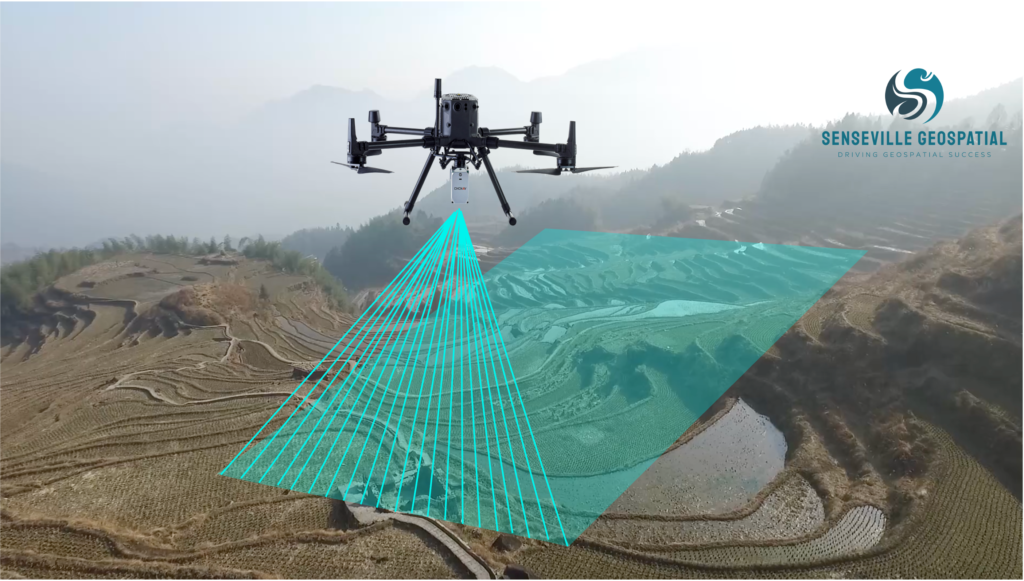
Combining LiDAR and Photogrammetry has the potential to overcome the drawbacks of each technology alone! In this specialized course, you will learn the concept of drone-based laser scanning, Photogrammetry,and multi-sensor integration. You will also learn the fundamentals of drone safety regulations, mission planning, system calibration, and best practices. Additionally, the course will cover topics such as drone and payload selection, as well as data collection, processing and analysis, and final product generation for various applications.
Learning Objectives
At the end of this course, you will be able to:
- to introduce participants to the principles of drone-based LiDAR scanning and Photogrammetry, along with other system components (e.g., GNSS and IMU)
- to provide an overview of different types of drones suitable for LiDAR and Photogrammetry applications, along with different types of sensors and systems, for various applications
- to plan drone missions for LiDAR+Photogrammetry, including flight path, sensor configuration, and data capture parameters
- to provide best practices for collecting drone-based LiDAR and Photogrammetry data, including pre-flight preparation, sensor calibration, and data capture strategies
- to offer hands-on training on processing drone-based real-world LiDAR and LiDAR+imagery datasets, and how to integrate them with other geospatial datasets, such as GNSS and IMU
- to examine methods for evaluating the accuracy and quality of the GNSS/inertial solution as well as the LiDAR and photogrammetric outputs
- to introduce software tools for data management and visualization for effective data interpretation
- to perform measurements, including distances, areas, and volumes
- to explore specialized techniques and workflows for different industries and applications, such as topographic mapping, oil and gas, infrastructure inspection, environmental monitoring, forestry, and urban planning
Who Should Attend
- Engineers, geomatics/geospatial specialists, surveyors, professionals involved in industries oil and gas, infrastructure inspection, environmental monitoring, forestry, and urban planning
- Professionals seeking to develop expertise in drone LiDAR and photogrammetry, including operation, capabilities and limitations, applications, and development trends
Availability
- Location: Oakville, Ontario
- Duration: three days
- Date: April 27-29, 2026; 9:00 AM – 4:30 PM Eastern Standard Time
- Fee: $2995